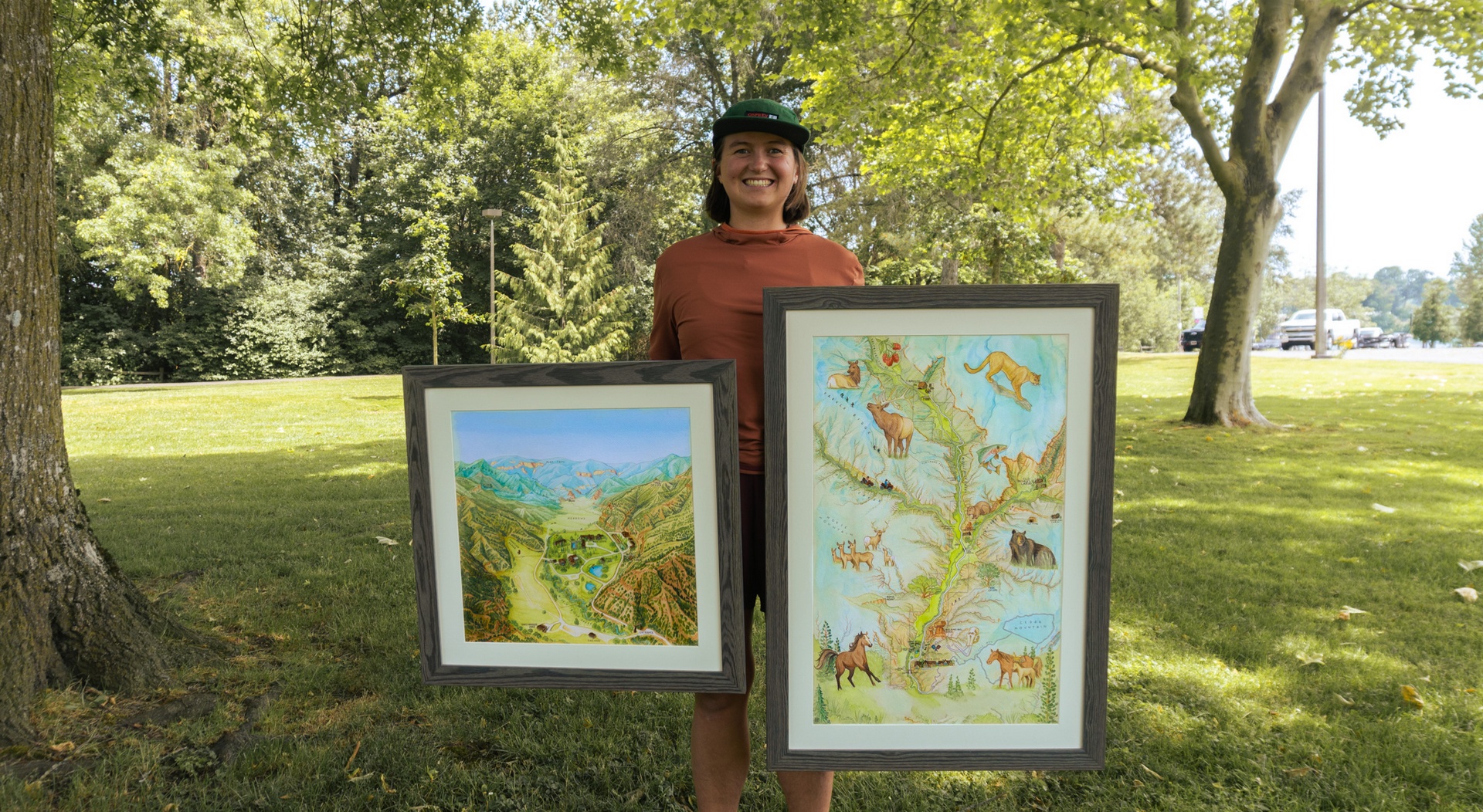
In the spring of 2025, I was commissioned by a private ranch owner in western Colorado to create a pair of artistic maps that would capture the spirit and sense of place of their property.
Since the land had never been mapped, I visited as soon as the snow melted — walking the roads and trails, noting the light, textures, and subtle contours that make the landscape unique.
The goal was to design maps that would help guests to orient themselves to the surrounding landscape, and as a centerpiece for the family’s home at the ranch: a lasting portrait of the land they love.
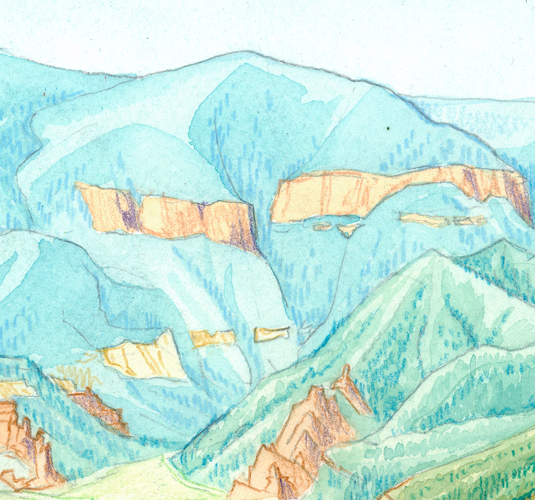
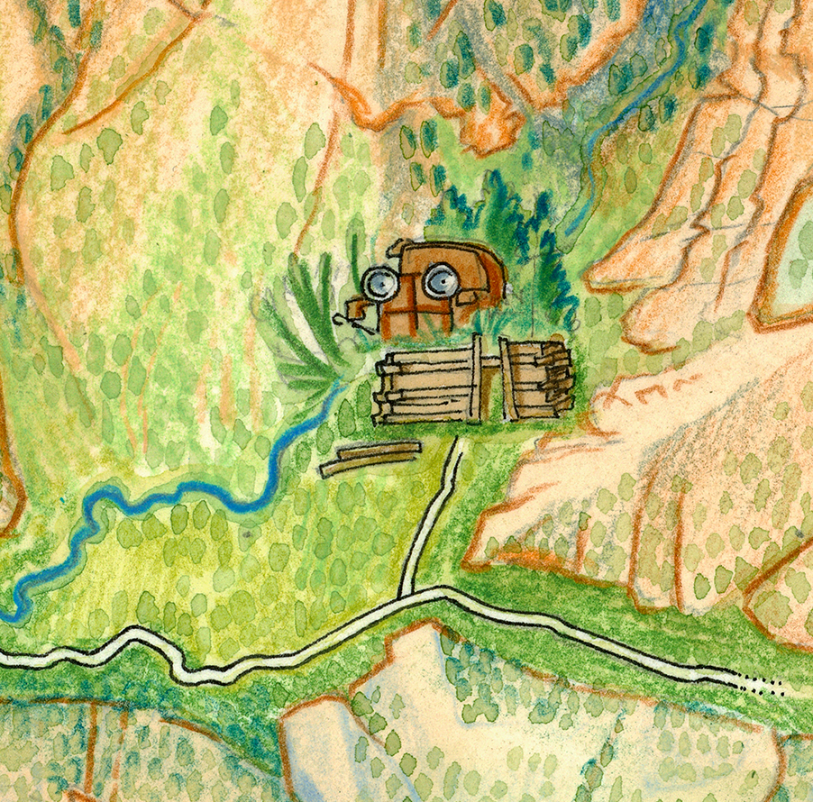
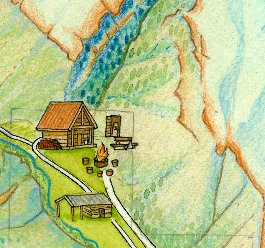
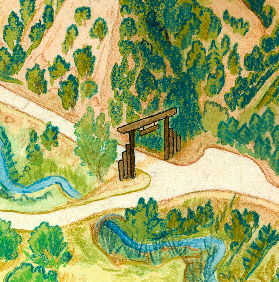
Using a high-resolution 3D terrain model, field sketches, and hundreds of reference photos, I hand-sketched and painted each map, blending geographic accuracy with artistic detail. Every pasture, ridgeline, and grove of trees was carefully painted to reflect the character and rhythm of the land itself.
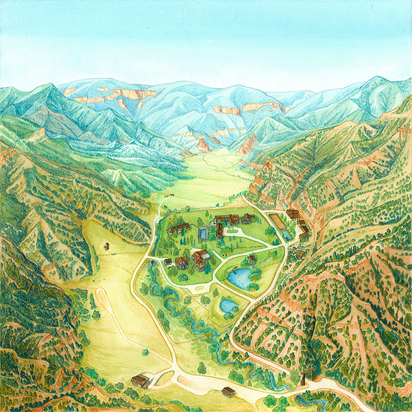
The first map takes an aerial perspective, looking up the valley across the full expanse of the ranch. I subtly stretched the landscape so that the distant view matches the exact vista seen from the main living room window—blending realism with the way the land feels when you’re there.
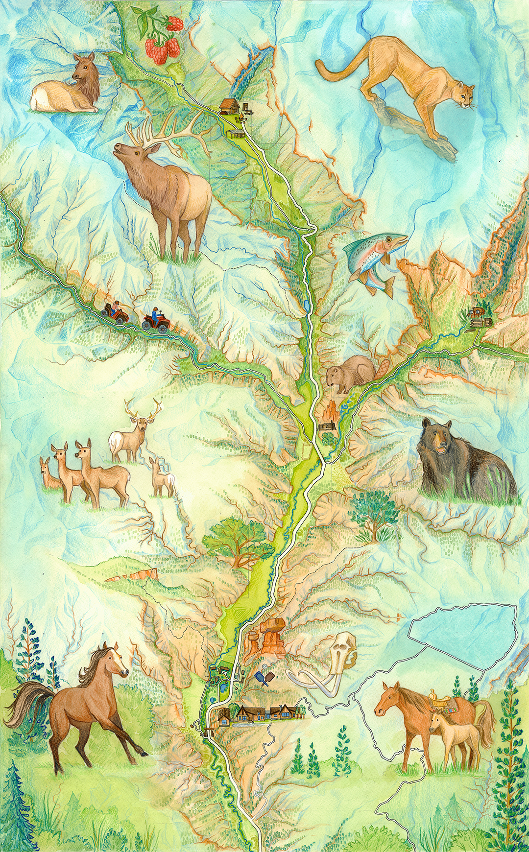
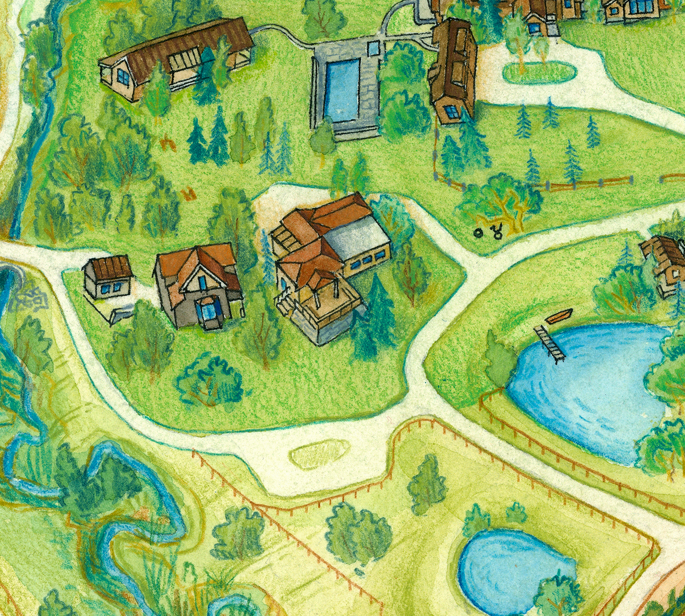
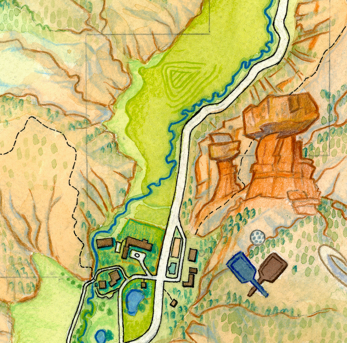
The second map takes a traditional top-down perspective, offering a comprehensive view of the entire ranch and surrounding terrain. Designed to highlight the connectivity of the landscape, it weaves together roads, rivers, and ridgelines into a flowing composition that feels both geographic and alive.
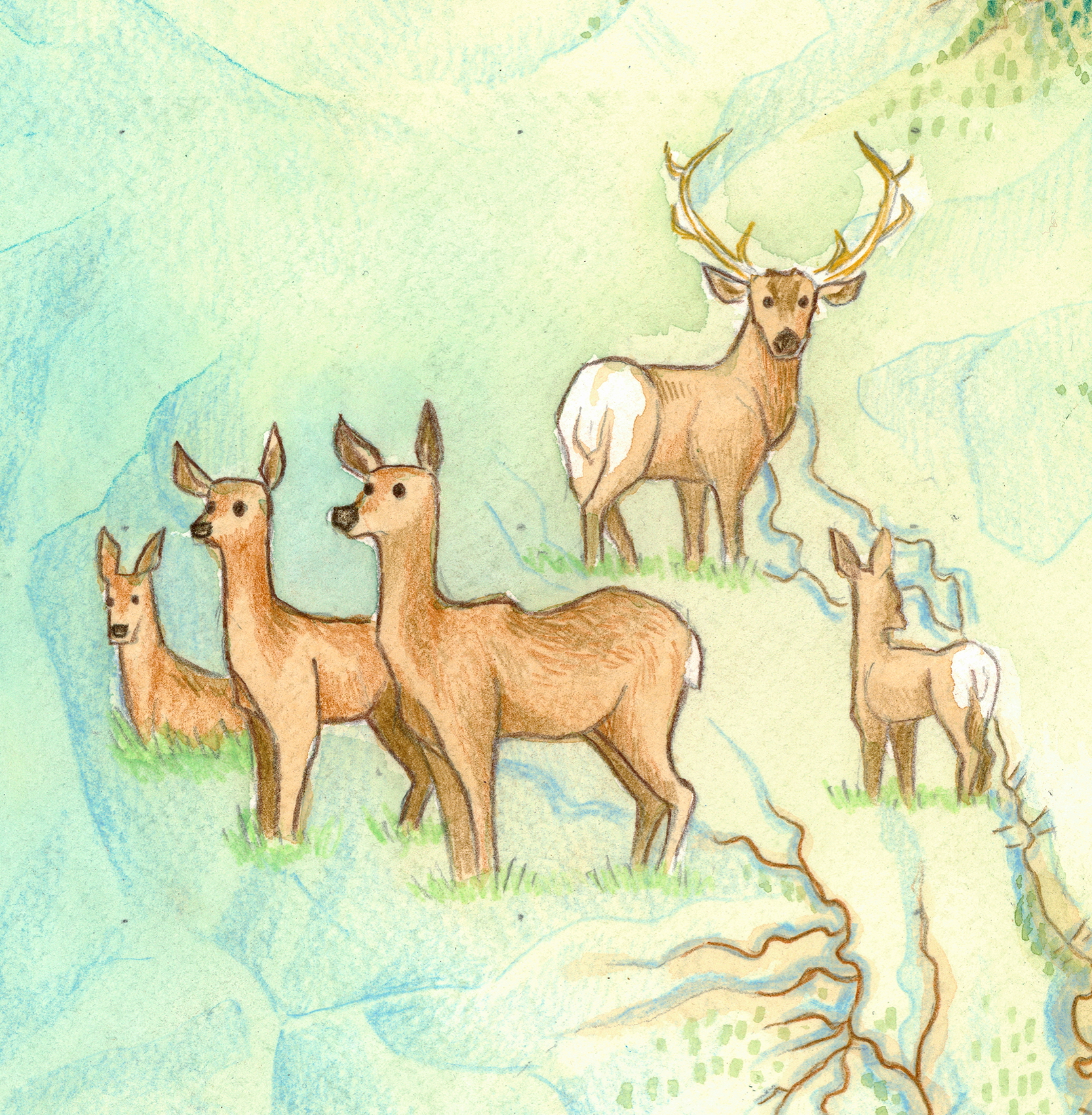
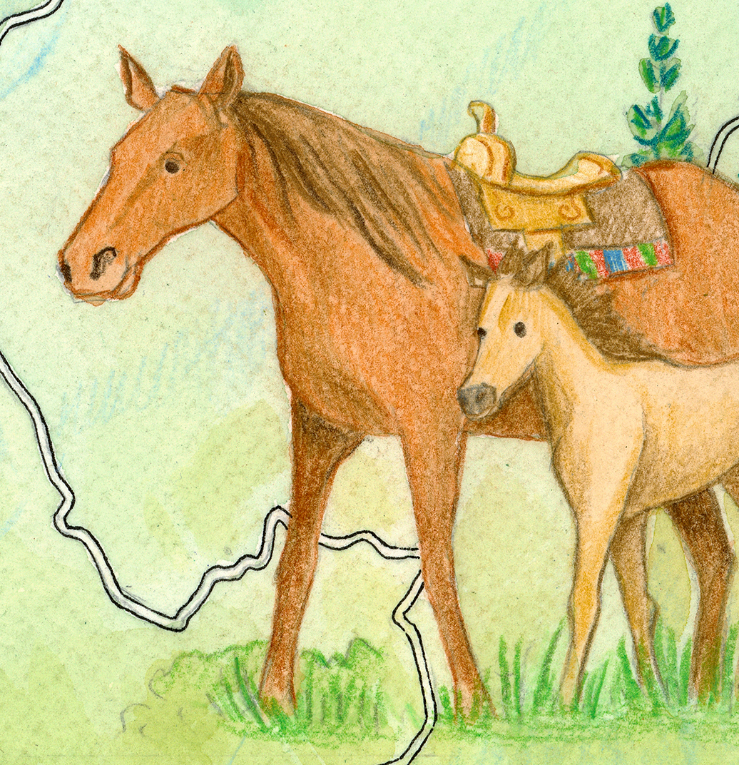
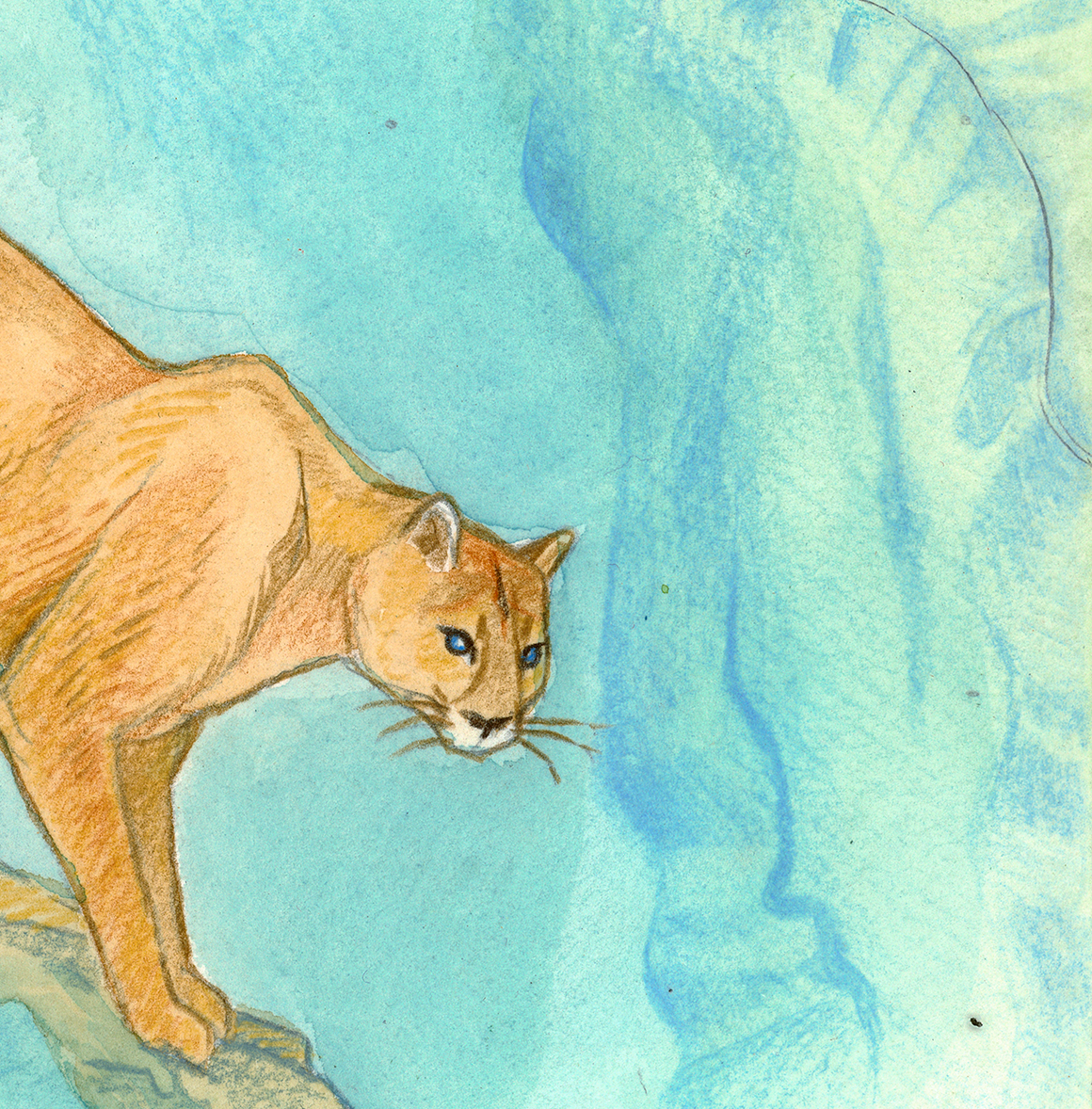
Favorite hunting and fishing areas are subtly marked, while local wildlife—from elk and mountain lions to trout and black bears—are brought to life through watercolor illustration.
This map captures not only the structure of the land but its spirit: the movement of animals, the rhythm of the seasons, and the family’s deep relationship with their property.